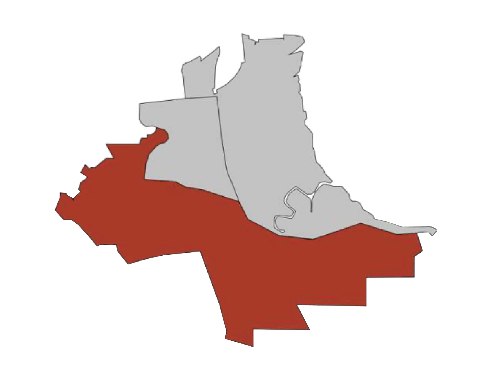
Above: Corte Madera’s Hillside Area

Hillside: Christmas Tree Hill Adaptation Project

Wildfires present the most immediate threat to the health and safety of Corte Madera’s residents, employees, and visitors in the hillside neighborhoods. A significant portion of the hillside neighborhoods are wooded and lie directly within the WUI (based on areas with a high structure density and their proximity to fuels). Evacuation routes are relatively limited and steep, posing significant challenges for resident evacuation of emergency responder mobility and access. This is especially true as fires become bigger, hotter, and more severe due to the impacts of climate change.

The Town takes these risks very seriously and will soon be launching a project to explore undergrounding and evacuation route improvement opportunities in the Christmas Tree Hill area.

Find more information about the climate vulnerabilities and proposed adaptations for the Hillside area below.


More information on the Christmas Tree Hill Adaptation Project coming in 2024.


Frequently Asked Questions

 
  • Recent studies suggest that climate change has rendered the concept of a “fire season” in California obsolete: major wildfires can happen at any time throughout the year and areas previously considered to be low-risk can experience major wildfire damage (CalFire Plan, 2018).

    Fire activity in the Bay Area is projected to increase in a warmer climate, especially in the Wildland Urban Interface (CA 4th Assessment Report, 2018).

    Across the state of California, there has been an increase in the number of fire ignitions, area burned, and the damages and impacts to humans and ecosystems (CalFire Plan, 2018).

  • Larger, more frequent, and more intense fire events are very likely.

    These fires bring significant risk to our property, health, air quality, economy, livelihoods, natural resources, and water supply.

  • Wildfires are dangerous, deadly, and expensive.

    In the Town of Corte Madera, our homes and land are valuable. Currently, 846 buildings are located in a CalFire ‘High Risk’ fire zone, and 468 are located in a ‘Moderate’ zone (CalFire Plan, 2018). Catastrophic wildfires can decrease property and land values.

    The impacts of wildfire last long after the actual fire event. Our water supply, sourced from the Mount Tamalpais Watershed, lies in a ‘Moderate’ to ‘Very High’ fire risk zone. Silting, erosion, and landslides are more common after wildfires and can impact water quality and quantity.

    Marin County is home to 17 fauna species and 20 flora species considered endangered, threatened, or rare.

  • Residents must abide by Town and County fire codes and regulations (based off of the International WUI codes): any new proposed structure must be built to code (fire resistant roofing, enclosed eaves, double-paned windows, etc.); and, new homes and subdivisions must accommodate fire apparatus road access among others.

    Six fire detection cameras located on Mt. Tamalpais, Mt. Barnabe, Big Rock, and Point Reyes are monitored by the Marin County Fire Department in Woodacre with real-time images available to the public.

    The Corte Madera Fire Department has 26 full-time personnel, two fire stations, three Type-1 fire apparatus, two ambulances, two command vehicles, and three utility vehicles.

    FireSafe Marin and community information and education programs such as FIREWISE, and Ready, Set, Go! Are designed to encourage fire-safe practices.